
MAPPAIR High Resolution Mapping Of ZEPHYR Data
MAPPAIR High Resolution Mapping Of ZEPHYR Data
Unique high resolution map of air pollution that uses advanced techniques to model air pollution from global scales to street corners
High resolution data. Hourly pollution forecasting and alerts. Computational Fluid Dynamics (CFD) to model air pollution flow and dispersion around buildings in 3D. API Data delivered as raw data file or mapped images.
Related products
-
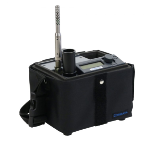
Air Sampling
Aer 5200/5300
The Aer 5200 continuously monitors the ambient air to detect airborne radioactive aerosols (LLRD). Typical application fields are nuclear facilities, the NORM industry, mines and nuclear medicine (e.g. ISO 16639).
The Aer 5300 offers a detector/filter unit separated from the body of the instrument. This allows the user to place the sampling head independently under conditions with limited space.
SKU: 22032011 -
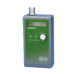
Air Sampling
Personal Air Sampler MINIPUMP PMP-001
The PMP-001 personal minipump is a small, light-weight, portable air sampling pump equipped with functionality for measuring accumulated flowrates. It is specifically designed for the low flowrate zones so the flowrate setting range is 10 to 300 mL/min. Constant flowrate functionality is included to inhibit suction flowrate drops associated with suction pressure increases
SKU: 080870-001